Spring To River
I wondered about the route this spring water flows after leaving my property.
Since my property is east of the Eastern Continental Divide and in the Yadkin River Basin, this spring water will flow to the Yadkin River, continue to the Pee Dee River near Cheraw, South Carolina and eventually empty into the Atlantic Ocean at Georgetown, South Carolina.
I was curious about the route this headwater flows to the Yadkin River. I logged onto the GIS site of the city of Winston-Salem and located my spring and then followed its route all the way to the river. Below are landmarks and elevations as this water flow meanders to the Yadkin River.
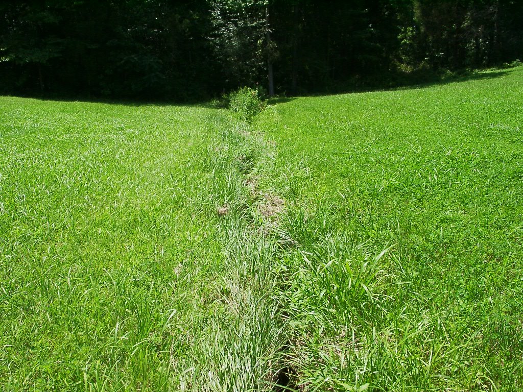
The top picture is the stream flowing across my property and entering the woods. The elevation at the spring is 850'.
Next, it crosses under Balsom Road where the elevation is 807'.
Then under Kilmurray Hill Road, 759' elevation.
Next, it passes under Vienna-Dozier Road at 749' elevation.
The last major road it flows under is River Ridge Road where the elevation is 735'.
It continues its winding course from there and empties into the river south of the end of Woosley Road.
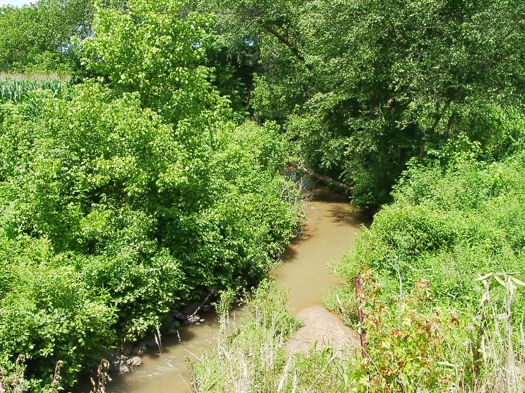
The first below picture is at the bridge on Kilmurray Hill Road and the bottom picture is from the bridge on Vienna-Dozier Road.
Several tributaries have combined to form a creek at the places in the below pictures. This stream is known as Bashavia Creek.
Return here Friday, July 21 for an update.
Have a good day!

posted by Mike Mabe @ 7/19/2006 05:10:00 AM
0 comments
![]()
![]()


0 Comments:
Post a Comment
<< Home